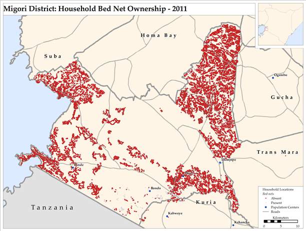
GIS Maps Produced using Data from Zcore-IRS
The Zcore-IRS (Indoor Residual Spraying) application helps USAID-supported IRS operations in Kenya to collect and aggregate data from on-going spray operations at remote field sites. Data for each day's spraying, including details about each house sprayed or the day's spraying totals, is entered into the application. At the end of each data entry session, data are uploaded to the main data center and are available for reports.
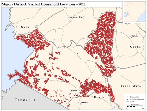
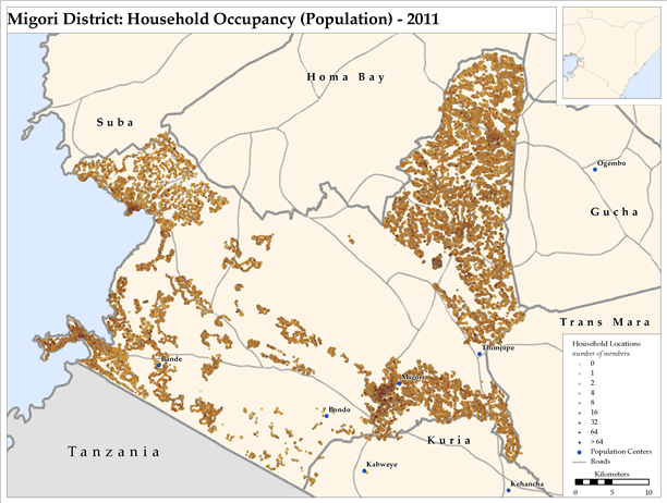
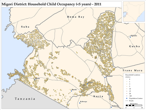
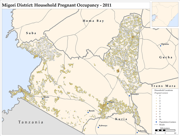
Maps on this page were produced by RTI Geographic Information System (GIS) specialists using the household data from the Zcore-IRS database. Maps were produced for Migori, Nyando, and Rachuonyo districts. The set of maps below are for Migori District. Clicking on each map below will display a higher resolution version of each map.
- Login to post comments
- Printer-friendly version
 PDF version

